Elevation
Retrieve the elevation of a point, of along a path.

Mont Ventoux

Montmartre

GR 20
Controlled costs
Pricing adapted to your volume, from 250€ /month
Custom solutions
Solutions tailored to your needs
At your service
A team of experts walking you through our APIs
ELEVATION API
Elevation profile for routes
Get elevation data anywhere on earth.

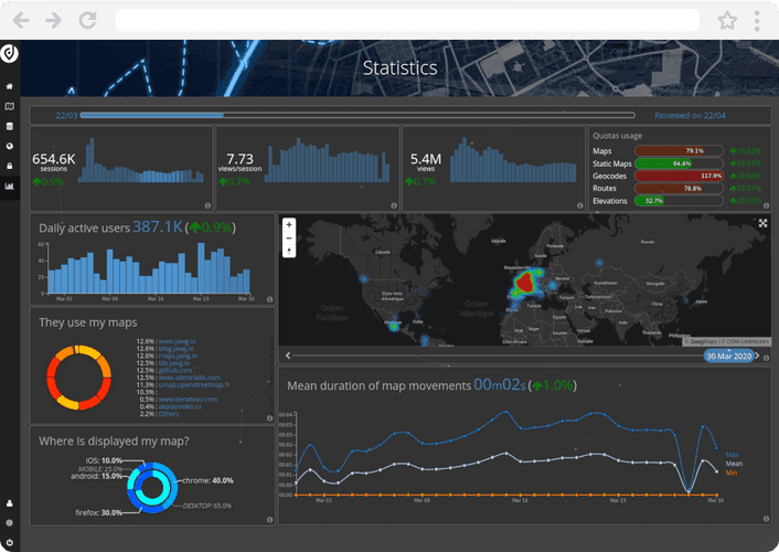
METRICS
Real-time stats
Analyze your maps usage and performance thanks to data visualization.


FAQ
How are elevation levels computed?
The elevation for one or many locations is computed from Digital Elevation Models and are expressed in meters above the sea level.
How do I integrate elevation data on my website?
Integrating Jawg Elevation is quick and easy. See our documention here.
How much does Jawg Elevation cost?
See our pricing page for more info.
/
Jawg playground
Discover the power of Jawg
Check out our live maps and try our customization settings.
Give your users a new map experience on your website.
Hundreds of brands already trust us. Why not you ?
LEARN MORE ABOUT OTHER JAWG PRODUCTS


